Pull up the property record for a forty-acre parcel outside Cassville and you'll see a number. Call the number on the sign in front of that same parcel and you'll hear a different one, often three or four times higher. Buyers who spend their first weekend of research cross-referencing county assessment records against asking prices tend to arrive at the same conclusion: something in Grant County's market must be broken, or overpriced, or both.
Neither is true. The two numbers are measuring two different things, and Wisconsin built it that way on purpose.
The Assessment Was Never Meant to Predict a Sale Price
Wisconsin taxes agricultural land under what the state calls use-value assessment. The Department of Revenue's own guidance describes the goal plainly: the system exists to protect the state's farm economy and curb urban sprawl by assessing farmland based on its agricultural productivity, not its potential for development. In practice, that means the county assessor looks at what a piece of ground could earn if someone farmed it and taxes it on that basis, regardless of what a buyer might actually pay for it.
This isn't a loophole or an oversight. It's the point. A dairy farmer working the same 160 acres for three decades shouldn't see a tax bill spike because a subdivision went up two miles away, or because a hunter from Illinois would pay a premium for the same dirt. The state's constitution has allowed agricultural land its own tax treatment since a 1974 amendment, according to the Department of Revenue's Tax 18 guidance, and the use-value formula has been doing exactly what it was designed to do ever since.
What nobody in 1974 was pricing in was the modern market for Driftless Area recreational ground. That's where the gap opens up, and it opens widest in a county like Grant.
The Statewide Number, and Why Grant County Doesn't Fit It
The most recent full-year figures from the UW-Madison Division of Extension, published in May 2026 and covering all of 2025, put the average price of agricultural land sold across Wisconsin at $7,238 per acre, up 9.6% from 2024. Land values statewide climbed 70.5% between 2020 and 2025.
But that average hides enormous spread. According to the same report, about 18.7% of 2025 sales closed under $4,000 an acre, another 20.6% closed above $10,000 an acre, and the remaining 60.7% landed somewhere in between. High-priced sales make headlines. Most land does not sell at headline prices.
Grant County sits on the expensive side of that spread, and not because its soil outperforms the state average. Land currently listed for sale in the county runs well above the statewide figure, with recreational and hunting-specific parcels commanding some of the steepest per-acre asking prices in the region. The reason isn't corn yield. It's geography.
| What's being priced | What drives the number |
|---|---|
| Statewide average cropland sale (2025) | Soil productivity, crop income potential |
| Interior Grant County tillable ground | Soil productivity, similar to statewide average |
| Grant County river-corridor or hunting-marketed parcels | Recreational demand, terrain, wildlife habitat, river frontage |
Why the Ridge Matters More Than the Soil Map
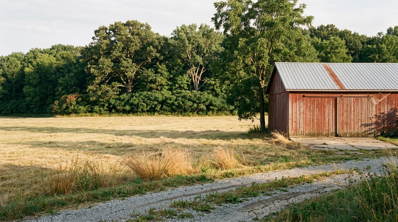
Grant County sits in the Driftless Area, the stretch of southwest Wisconsin that the last glaciers never flattened. Instead of the flat, uniform cropland that defines most of the Midwest, the county has steep ridgelines, spring-fed valleys, and river corridors along the Mississippi, the Wisconsin, the Grant, the Platte, and the Blue. That terrain is exactly what a use-value formula is not built to measure. A steep, wooded ridge with a strong whitetail population and a view down into a river valley might carry almost no tillable acreage and a correspondingly modest assessment, while commanding one of the highest asking prices in the county because a hunter from Chicago or Rockford wants exactly that ridge.
This is why parcels near Cassville, Muscoda, Boscobel, and Bagley, where the terrain breaks toward the river bottoms, tend to list well above the flatter, more uniformly tillable ground closer to Platteville or Lancaster. The land isn't more productive. It's more desirable for a use the assessment formula was never designed to capture.
You can see this play out in how the land actually changes hands. In June, a roughly 230-acre combination farm north of Lancaster, with a majority of its acreage tillable and the balance in timber and recreational ground, went to auction at the Lancaster Country Club rather than sitting as a passive online listing. Properties that blend cropland with recreational upside in this county often move through in-person auctions precisely because the recreational premium is hard to capture with a standard listing price alone. Buyers show up in a room and bid against each other for the hunting rights and the river access, not just the crop share.
What This Means If You're Selling
If you own land in Grant County and you're using the assessed value from your tax bill as a starting point for what to ask, you may be leaving real money on the table, particularly if your parcel touches timber, a ridge, or a river corridor. The assessment tells you what the county thinks the ground could earn as a farm. It says nothing about what a recreational buyer will pay for the rest of it.
There's a practical wrinkle here too. Wisconsin's property classification system includes a separate agricultural forest category for wooded acreage that sits next to an actively farmed parcel. You can see this classification in use on Grant County's own assessment rolls, where wooded acreage contiguous to farmland carries its own line item distinct from open cropland. For an owner who isn't ready to sell but wants to keep carrying costs down while deciding whether to farm, hold, or market a parcel for its recreational value, understanding which classification your acreage falls under matters more than most sellers realize until they're sitting across from a buyer's agent.
What This Means If You're Buying
If you're comparing Grant County to another county using assessed values or county-level averages, you're comparing the wrong number. Two counties can show identical average agricultural assessments and have completely different actual sale prices, because one has more ridge and river frontage in play and the other doesn't. The only number that tells you what you'll actually pay is recent closed sales on land with a similar mix of tillable and recreational character, in a similar stretch of the county.
This cuts both ways for buyers too. A high asking price on a Grant County parcel near the Mississippi or the Blue River isn't automatically inflated just because it sits far above the assessed value or the statewide average. It may simply reflect what that specific stretch of terrain is actually worth to the kind of buyer who wants it.
A Few Questions Worth Asking Before You Make an Offer
Does a low assessed value mean I can negotiate a lower purchase price? Not on its own. The assessed value reflects agricultural use-value, which is often a fraction of market value by statutory design. Use recent comparable sales in the same part of the county, not the tax record, to judge whether an asking price is reasonable.
If I buy recreational land but keep part of it in crops, does my tax treatment change? It can. Wisconsin's classification system allows different portions of the same parcel to carry different assessment categories depending on actual use, which is worth reviewing with the seller's agent and the county assessor before closing, not after.
Why do some Grant County properties sell at auction instead of through a standard listing? Auctions can surface the true competitive value of a property with both agricultural and recreational appeal, letting multiple serious buyers bid against each other rather than relying on a single asking price to capture demand that a use-value assessment never accounted for.
Working With Someone Who Knows Which Number Matters
Grant County land doesn't price itself off a spreadsheet, and it doesn't price itself off the county assessor's formula either. It prices off the ridge, the river, and who's willing to pay for the view. Whether you're comparing a handful of parcels or trying to figure out what your own acreage might actually be worth to the right buyer, the assessed value is only the beginning of the conversation.
Bowen Conlon Real Estate works across the Dubuque tri-state corridor, including Grant County, with the kind of local, parcel-by-parcel knowledge that a statewide average can't give you. If you're weighing a purchase or wondering what your land is really worth in today's market, reach out to Rose for your free home valuation and a straight answer about the number that actually matters.